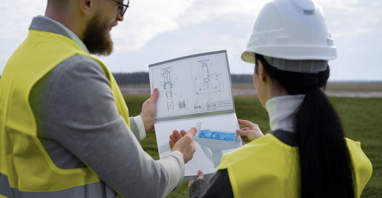
The use of Geographic Information Systems (GIS) has transformed the workflow of civil engineering companies in the collection and analysis of geographic data. These insights have helped them plan, construct and manage infrastructure projects with more organisational accuracy. Integrating geographic data with advanced analytical capabilities, civil engineers are provided with actionable data. GIS enhances the
Technology - Valdez Engineering
September 23, 2025

July 14, 2025
Greenhouse Engineering Services Windsor, Ontario
There has been a recent rise in the demand for sustainable and efficient farming methods in Windsor, and greenhouses are taking the opportunity to lead. Greenhouses have become an essential part of commercial cultivation, hobbies, and research centers. Having an efficient greenhouse will be of great benefit to productivity and energy use. This is where

April 7, 2025
Valdez Engineering Proudly Supports the 23rd Annual ICHA Fishing Derby
Valdez Engineering thrilled to be a proud sponsor of the 23rd Annual ICHA Fishing Derby on June 7, 2025, an incredible event which brings people with disabilities together for an inclusive day of fishing fun! As a company that values community engagement and empowerment initiatives, we take great pleasure in participating in such an important

December 23, 2024
Valdez Engineering’s Role in Stellantis’s First Canadian EV Production Line
At Valdez Engineering, we’re celebrating an incredible achievement that showcases the hard work, expertise, and dedication of our talented team. We are thrilled to have played a pivotal role in the development of Stellantis’s first-ever Canadian-made electric vehicle (EV) production line in Windsor, Ontario. This milestone marks a significant leap forward for Stellantis and a